

 Notes:
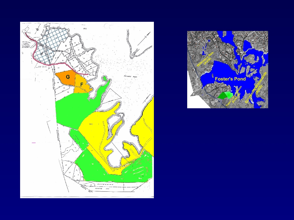
In the diagram on the left, you can get another perspective on the location of the two lots. They're in orange, designated by G and F. (These same lots are highlighted in the inset of the entire Pond.)
The red line on the left-hand diagram shows the access in to these lots, along a paved section of Willard Circle, off Woburn Street.
The bright green parcels in the left-hand diagram are 42 acres of conservation land that the Town already owned. And the yellow marks a portion of the Goldswmith Woodlands - owned by the Boston Foundation and operated as an AVIS reservation.
So you can see that the two lots really tie from Willard Circle into this very large conservation area.


